I was one of the main consultants on the documentary.
One point to note is that only the upper tall, where we are excavating the kings palace (distinctive palace ware pottery in this location), is highlighted in white in one of the photos. In addition, there is a large area (total 62 acres) around the base of the tall (lower tall) that also belonged to the Middle Bronze site of Sodom which was all fortified. The gate diagram, drawn by Leen Ritmeyer based on our excavations, was discovered on the Lower Tall.
Otherwise, a great explanation in French of our research at Tall el-Hammam, Jordan and some of the evidence for the theory of destruction by an airburst.
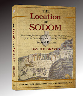
For more information on the excavations at Tall el-Hammam in the last 15 years see The Location of Sodom.
_________


No comments:
Post a Comment